| Distance | 86.73 kms | 54.06 miles |
|---|---|---|
| Climbed | 1,266 meters | 4,154 feet |
| Ride time (hours) | 5.38 | - |
| Avg speed | 10 kph | - |
| Avg climb | 4% | - |
| Max grade | 11% | - |
| Distance | 28,273.21 kms | 17,568.02 miles |
|---|---|---|
| Climbed | 297,716 meters | 976,759 feet |
| Ride time (hours) | 2,004.50 | - |

Saturday, May 24th, 2014
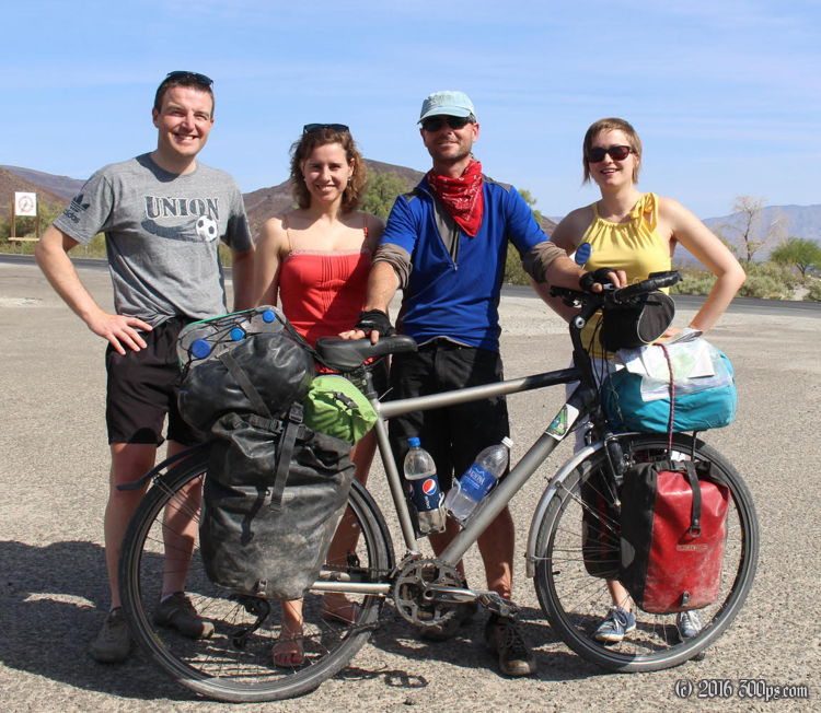
Goodbyes to the Belgians at the gas station then I'm off. With all that good company and good food I attack the climb with gusto, I eat up the 4,000 feet of climbing in record time. It is much hotter today than it has been.
J'aurais voulu que tu sois là tous les soirs pour m'aider à monter la tente.
Up top I see 3 F-18s from China Lake having themselves some fun in the mountains. They come screaming over the peaks to the west then tilt 90 degrees before diving over the mountains to the east down into Panamint Valley.
The descent doesn't go all that fast because of a stiff northwest wind coming down the next valley. I hit the flats for 10 or so miles before running into 395 outside of Lone Pine. At the junction there is an inter-agency visitors center, I roll in to see what they have for maps. Sitting outside is John from Ohio who is on a long trip from Virginia to San Diego to Seattle. We talk for a while about touring then decide to head into Lone Pine to see what is available for camping possibilities. John is a pilot so he sometimes camps at airports, something I had never considered before, but the small one outside of Lone Pine is closed. In town the owner of a hostel and a friend of his give us some tips on places to camp outside of town. We shop, stock up on water, then do a 500 foot climb up to BLM land where we find a good spot in a wash, have a fire, cook dinner, and swap stories. Poor guy I've been spending so much time alone I probably talked his ear off.
Great free camping spot.