| Distance | 36.50 kms | 22.99 miles |
|---|---|---|
| Climbed | 358 meters | 1,175 feet |
| Ride time (hours) | 3.90 | - |
| Avg speed | 9.3 kph | - |
| Distance | 1,589.09 kms | 987.36 miles |
|---|---|---|
| Climbed | 12,057 meters | 39,557 feet |
| Ride time (hours) | 126.23 | - |

Thursday, November 9th, 2017
The big challenge today: get around the lake to the eastern shore, the goal that escaped me last time. I'm feeling more optimistic this morning, if I'm patient I'll surely find a way. I'm not in any rush to get started. I have what for me could be considered a late start these days, around 9am. I'm too busy enjoying the sunrise on the lake and all the birds flying around to be in any kind of hurry.
I start heading north. I make one mistake by following the County 15 road down to the lake, it just leaves me facing that impenetrable riparian thicket that I got stuck in last time. Not going there again. I sort of backtrack, heading northwest up some big hills, away from the lake -- against my instinct -- until I can see a path with fresh tire tracks that leads down across the river that feeds the lake. This trail has to be it. The grades are viciously steep and rocky to get down off these hills. I have one foot down and both hands on the brakes to try and control the descent but at one point I fall hard anyways. The bike and I fall to the right yet somehow I land on my left forearm. It doesn't feel good. I pick myself up, dust myself off, and manage to get to the bottom. Here I find the old bus that the folks at Wayside Oasis told me about. I must be on the right road. From here I snake my way along some tracks of fine sand until the trail dives down through a thicket to the river. It's only a trickle at the moment, maybe 4 inches of running water, and I manage to get the bike across without even getting my feet wet. I have to walk the bike a quarter mile through thick beach sand then I'm up and riding through a track practically enclosed with bushes to the left and to the right. I'm home free... I just have to navigate a few sandy washes then I'm out of the riparian jungle and onto Brown's Crossing, the road I came down last time looking for a way across to the other side. From here I know the way. I've made it! This is what counts as a success in my strange existence.


I'm thrilled to finally arrive at the Wayside Oasis. I step into the cool air conditioning to find the same waitress who was there last time. I order a bacon cheeseburger and an iced tea. She brings me a pitcher-full with ice. I hang out with her for a couple of hours, shooting the breeze. She's my kind of kooky. They have internet so I can finally plug back in to this fucked up world. Later on the same woman who knows the off-roading trails in the area and the oldtimer who told me stories show up. While they play cribbage we exchange notes on where I've been, how I got around the lake, and where I'm going next. The off-roader suggests Vulture Mine Road near Wickenburg if I want to go south. By the time I leave I've consumed two full pitchers of that iced tea.
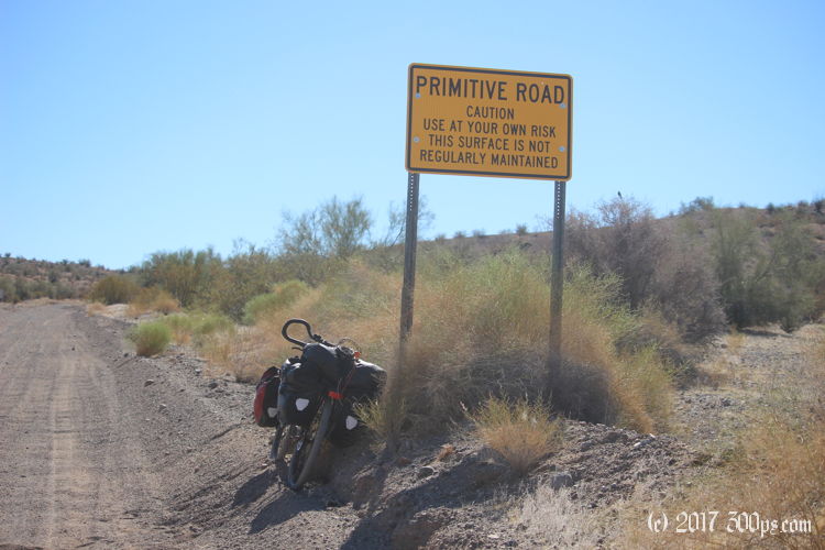
I ride for about 10 miles to the east on the recently-graded dirt road. The surface is fast but I'm just putting along, trying to digest my burger and iced tea. When I see the sign for the end of La Paz county I start looking for a place to camp. As I remember the road is shite from here on out, I'm not in the mood to fight the sand with only an hour to go until sunset. I set up and make dinner while I've got some light to avoid camping on top of an ant farm or a snoozing rattle snake.
A couple of strange events in the evening: first, around 7pm, already pitch dark, a truck coming west down Wickenburg Road stops not 200 feet from where I'm camped, someone gets out and says something I can't make out, then the truck continues on; I figure they've just moved on down the road. Second, around 9pm when I'm almost asleep, the tent is suddenly illuminated by a bright white light from the west. It scares the shit out of me. I freeze, listening intently for the sounds of footsteps or a vehicle. Nothing. I have no idea what it could have been. I'm literally in the middle of nowhere here, 10 miles east of the Wayside, 20 miles west of route 93, nothing at all out here but desert. A mystery. Fortunately no one bugs me for the rest of the night but it does take a little while for my heart rate to settle down.