| Distance | 269 kms | 167 miles |
|---|
| Distance | 11,292 kms | 7,017 miles |
|---|

Sunday, September 10th, 2017
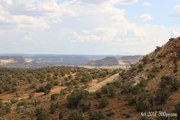
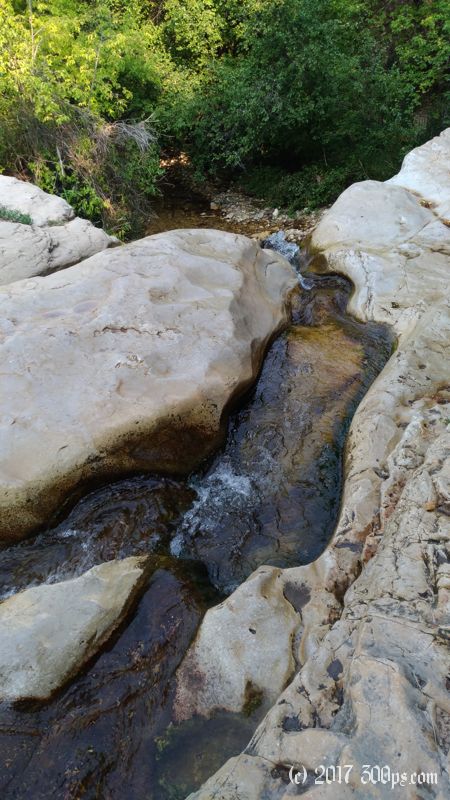
Other than slipping and sliding for the first 10 minutes down the steep canyon path it's an easy hikeout this morning. Just 3 miles and change.

I'm pleased to find Greta intact right where I left here at the trailhead. I rearrange all my gear to fit on the bike then ride the 30 or so miles out Dinosaur National Monument to Vernal.
I hang out in Vernal for a day to have a rest. A Microtel Inn had a very cheap rate on a nice room so I take advantage. At night a Polish woman comes up to me after I pull in and asks me if I have a torque wrench. Unfortunately not. She is traveling on a BMW G650 with her boyfriend who is on a Kawasaki dual-sport. I spend the evening swapping stories with them over pizza. Domino's screwed up their order and gave them an extra pizza, lucky for me. There's even some left over at the end; if I was bicycling instead of motorcycling that would not be the case.
Back on the road, I head east into Colorado, then down a fun road towards Fruita. I ride up Douglas Pass (8,263 feet), stall at the top when taking a picture, then down the other side behind a BMW F800 who is very squeamish on the turns but lets it run on the straightaways. He doesn't appear to be the social type, he doesn't wave at any of the many motorcycles coming in the other direction. At Loma he stops for gas, I take a left towards Fruita to pick up groceries.
I've been to this area before, so I have a free BLM campground in Rabbit Valley in mind for tonight's lodging.
Stats for hike out of Jones Hole (Strava data):
Miles hiked: 3.5mi
Elevation gain: 468 feet
Moving time: 1:18:07